

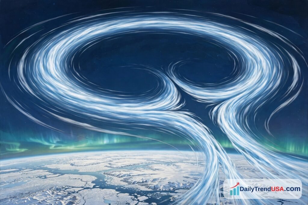
The Arctic polar vortex is weakening unusually early this November, in what could become the earliest major disruption of its kind since records began in 1958. NOAA confirms the event is underway — but whether it brings cold and snow to the United States is still far from certain.
What we know / What we don’t know
What we know:
- A sudden stratospheric warming event is underway over the Arctic, weakening the polar vortex far earlier than usual for November.
- NOAA’s Climate Prediction Center confirms the event in its Week 3–4 outlook, and a NOAA National Weather Service meteorologist says the vortex is already stretching and splitting into two lobes.
- Stratospheric winds high above the Arctic have slowed sharply, from about 22 metres per second on October 25 to about 5.4 metres per second on November 2.
- Forecasts suggest the winds could briefly reverse direction between November 6 and 10. If that happens, it would be the earliest major warming event on record.
What we don’t know:
- Whether the wind reversal will actually happen. As of now it is forecast, not confirmed.
- Whether the disruption will reach down far enough to change weather at ground level in the United States.
- When any effect would arrive. Experts say it usually takes at least two weeks, and often much longer.
- Whether the very strong El Niño will cancel out any cold signal, as NOAA’s outlook suggests it might.
Key facts
| Fact | Detail |
|---|---|
| What is happening | Sudden stratospheric warming (SSW) weakening the Arctic polar vortex |
| When it started | Late October to early November 2026 |
| Wind speed at 60°N, 10 hPa | Fell from 22.13 m/s (Oct 25) to 5.44 m/s (Nov 2) |
| Possible wind reversal | Forecast November 6–10 (NOAA); November 9–11 (NASA forecast data) |
| Records since | 1958; only two other November events on record |
| Previous earliest disruption | November 28, 1968 |
| US cold/snow impact | Uncertain; NOAA outlook favours above-normal temperatures in the West and Alaska |
| Competing factor | A very strong El Niño, which favours milder weather across much of the US |
What is the polar vortex?
The polar vortex is a huge ring of strong winds that circles the North Pole high in the atmosphere, roughly 10 to 30 miles above the ground. It forms each autumn, grows strongest in December and January, and usually weakens or breaks apart in spring.
Its job, in simple terms, is to keep the coldest Arctic air bottled up near the pole. When the vortex is strong and tight, that cold air stays put. When it weakens, stretches or splits, cold air can spill farther south into North America, Asia or Europe, sometimes weeks later.
One thing worth clearing up: the polar vortex is not the same thing as a cold snap. The phrase has become popular shorthand for any blast of freezing weather, but NOAA’s Climate.gov notes that cold weather can happen whether the stratosphere is doing anything unusual or not.
What is happening right now?
Meteorologists are watching a process called sudden stratospheric warming, or SSW. Large waves of air rising from the lower atmosphere push up into the stratosphere and knock the vortex off balance. The air high above the pole warms fast, and the vortex’s normal west-to-east winds slow down — and in strong cases, reverse direction.
That is what is happening now. Laura Ciasto, a meteorologist with NOAA’s National Weather Service, told USA TODAY that forecasters are already seeing the polar vortex “become stretched out and splitting into two smaller vortex lobes.”
The numbers back that up. Data from NASA’s Ozone Watch shows the daily average wind at 60 degrees north latitude and a height of 10 hectopascals — the standard measure for the polar vortex — dropping from 22.13 metres per second (about 50 mph) on October 25 to 5.44 metres per second (about 12 mph) on November 2, well below the long-term average of about 25.6 metres per second for that date.
NOAA’s Climate Prediction Center, in its Week 3–4 discussion, states plainly that “an unusually early sudden stratospheric warming (SSW) event is underway over the Arctic region, with a weakening polar vortex.”
Why is this one so unusual?
Timing. These events normally happen in January to March, when the vortex is fully built. In November it is still growing, so an early disruption is rare.
In the records kept since 1958, only two other warming events have happened in November, according to Ciasto. The earliest previously recorded disruption came on November 28, 1968. If the winds reverse in the second week of November 2026, as some forecasts suggest, it would beat that mark by more than two weeks.
Forecasts from NASA’s GEOS system suggest the daily average wind could dip below zero — meaning a reversal from westerly to easterly — between November 9 and 11, before returning to westerly flow around November 12. NOAA’s Ciasto put the possible reversal window at November 6 to 10.
But it is important to be clear: the reversal has not happened yet. What is confirmed is the weakening and the stretching. A “major” sudden stratospheric warming is only officially counted once that wind reversal is observed. The UK Met Office, which said on November 4 that the vortex was already unusually stretched, also warned that the expected reversal looks relatively weak and short-lived, and that it is still uncertain whether a major event will occur at all.
Will it bring cold and snow to the United States?
Searches for “polar vortex” surged past 200,000 in the United States on Friday evening. The honest answer is: maybe, but probably not in the way many expect, and not soon.
First, timing. Even when a warming event does push cold air south, it usually takes at least two weeks for the effect to work its way down to the weather we feel, and recently it has often taken much longer. Judah Cohen, a polar vortex expert at the Massachusetts Institute of Technology, told USA TODAY that any impact would arrive “as early as late November but more likely in December and could even be delayed until January.”
Second, the cold air has to exist. The Arctic as a whole was about 8 degrees warmer than the 1990–2019 average at the end of October, and Alaska and the Yukon were about 13 degrees warmer, according to University of Miami scientist Andy Hazelton. The only real pool of very cold air, he said, was over eastern Siberia. In November, Cohen noted, the Arctic “hasn’t had as much time” to get cold, “so there’s less cold to source a cold-air outbreak.”
Third, this winter has a powerful competing force: a very strong El Niño, a warming of the Pacific Ocean that shifts weather patterns around the world. A strong El Niño usually means a milder-than-average November across much of the United States, and NOAA’s Climate Prediction Center says the El Niño pattern is the stronger signal and is favoured to be the main influence on US weather over the next few weeks. Its November outlook does not favour cooler-than-average temperatures in any part of the contiguous United States or Alaska. The Center also says the warming event looks relatively short-lived, and that the pattern in place “limits the availability of Arctic air masses across North America that could drive any significant cold air outbreaks into the US.”
Cohen went further: in his view, the most certain impact of this event is a stretch of milder weather for eastern North America, probably for much of November, and the downward influence is more likely to affect northern Europe or northern Asia than the eastern United States. Recent history backs up the caution: the last El Niño winter, in 2023–24, featured two warming events and still turned out to be a very mild winter in the eastern US.
None of this rules out a cold spell. It means a cold spell is not the likely outcome, and anyone promising one based on this event alone is getting ahead of the evidence.
What happens next?
The next few days will decide whether this becomes a record. If the winds reverse by about November 11, it will be the earliest major sudden stratospheric warming since reliable records began in 1958. If not, it remains a remarkably early disruption — just not a major one.
After that, the watch shifts to the surface. Forecasters will look for the Arctic Oscillation — a measure of how tightly cold air is held near the pole — to turn negative, the first sign that the stratospheric event is coupling with the weather below. NOAA’s outlook notes the possibility of a negative Arctic Oscillation during the first week, but also says model forecasts show it weakening by the end of the second week.
What should you do?
Nothing special, for now. If you live in the northern United States, the usual early-winter checks still apply: make sure your home is ready for cold weather when it does arrive, and know how to stay safe if the power goes out during a winter storm. Our guides explain how to winter-proof your windows and doors, how to use a generator safely during a power outage, and how to use a space heater safely this winter.
We will update this article if the wind reversal is confirmed or if NOAA changes its outlook for the United States.