

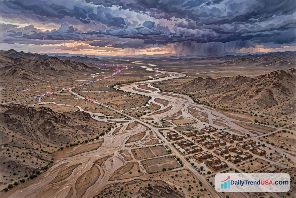
Days of heavy rain on saturated ground sent the San Juan River to record levels across the Four Corners, forcing hundreds of evacuations, overnight rescues, and bridge closures in New Mexico’s San Juan County and on the Navajo Nation. The Shiprock Bridge has now reopened with restrictions, but officials warn the danger is not over: the flood warning runs into Sunday night and more rain is possible. Here is what is confirmed, what is still changing, and what residents are being told.
What we know
- The San Juan River at Shiprock, New Mexico, was forecast by the National Weather Service in Albuquerque to crest at 23 feet on Saturday afternoon, October 24 — the highest stage ever recorded at that gauge, above its 15.5-foot flood stage.
- The Shiprock Bridge over the San Juan River was shut in the early-morning hours of October 24 and later reopened, according to the Navajo Nation Police Department — with only the eastbound lane open, traffic directed in both directions, and vehicles allowed through in groups of 10 at a time.
- San Juan County emergency crews carried out 20 rescues on Friday night and Saturday morning in the Farmington and Shiprock areas, with multiple people involved in several operations, and rescue operations remained underway.
- About 600 homes were urged to evacuate in the Farmington and Shiprock area, and about 1,500 people were without power, according to local utilities cited in official updates.
- A nearby wastewater treatment plant was affected, with raw sewage flowing into the San Juan River, police said.
- The flood warning for the Shiprock area was extended until late Sunday night, with the river expected to stay above flood stage through Sunday afternoon.
What we don’t know
- The river’s final crest at Shiprock is not yet confirmed in a single official figure: the Farmington gauge stopped working after an earlier record reading, and forecasts have been revised as conditions changed.
- Whether the Shiprock Bridge stays open depends on the weather — police said it may close again if severe weather develops.
- How many homes were ultimately damaged, and when all evacuated residents can return, has not been confirmed in the official updates reviewed.
- Casualty figures were not included in the official updates reviewed for this article; the confirmed focus of those updates is rescues, evacuations, closures, and outages.
Key facts
River / location: San Juan River at Shiprock, New Mexico (Four Corners region)
Forecast crest: 23 feet Saturday afternoon, Oct 24 — highest ever recorded at the gauge (NWS Albuquerque)
Flood stage: 15.5 feet at Shiprock
Shiprock Bridge: Shut early Oct 24; reopened restricted (eastbound lane only, groups of 10, both directions escorted)
Other bridges: Shiprock, Bisti, and Nenahnezad bridges were reported closed earlier Saturday
Rescues: 20 operations Friday night–Saturday morning (San Juan County crews; Navajo Nation Police)
Evacuations: ~600 homes urged to evacuate (Farmington–Shiprock area)
Power: ~1,500 people without power
Flood warning: Extended until late Sunday night; river above flood stage through Sunday afternoon
Road closures: 2-mile stretch of US 64 west of Shiprock; 4-mile stretch of NM 371 south of Farmington
A record river, and a week of rain behind it
The flooding did not arrive in a single storm. The Four Corners region — where Arizona, Colorado, New Mexico, and Utah meet — had already endured two months of on-and-off heavy rain from tropical moisture coming off the Pacific, ending a summer drought and saturating the ground. From Wednesday through Friday, about 4 inches of rain fell on that saturated ground, with another inch possible on Saturday, according to county and weather-service updates.
That water ran off the southern Colorado headwaters into the San Juan and Animas rivers, which swelled before crossing into northwestern New Mexico. In Farmington, the San Juan reached 14.1 feet on Friday, October 23, breaking a 117-year-old record of 12.3 feet set in 1909 — and then the river gauge stopped working, leaving the final crest there unconfirmed. The flood wave moved downstream toward Shiprock on the Navajo Nation, where the Albuquerque weather office forecast a 23-foot crest on Saturday afternoon, more than five feet above flood stage and higher than anything previously recorded at that gauge.
Farmington Police Chief Steve Hebbe called the flooding a “once in a generation” event during a Friday news conference. In southern Colorado, the flooding ran even worse than forecast in places: the San Juan through Pagosa Springs ran more than 2 feet higher than a flood just over a year ago that had itself been considered a 100-year event. The Animas River through Durango also surged, though below its century-old records, and flooding extended east to the Conejos River, where Colorado’s governor added Conejos County to the list of areas eligible for disaster help.
Rescues, evacuations, and bridges
The human side of the emergency has centered on Farmington and Shiprock. San Juan County crews completed 20 rescues on Friday night and Saturday morning, many involving more than one person, using boats, helicopters, and amphibious vehicles to reach people trapped in homes and on rooftops, according to county and police updates. Rescue operations remained underway on Saturday, focused on Farmington and west toward Shiprock. Navajo Nation President Buu Nygren said residents in the Shiprock area had been stranded on rooftops and others needed evacuation help, and a shelter threatened by rising water was closed with its occupants moved to another location near Shiprock.
About 600 homes were urged to evacuate in the Farmington–Shiprock area, an emergency shelter opened at McGee Park, schools across San Juan County closed, and about 1,500 people lost power, much of it south of the river in Shiprock. A 2-mile stretch of US Highway 64 west of Shiprock into the town was closed by standing water, and a 4-mile stretch of New Mexico 371 south of Farmington — the area’s largest city, with about 46,000 residents — was closed by flooding over a bridge. Earlier on Saturday, the Shiprock, Bisti, and Nenahnezad bridges were all reported closed, cutting several routes across the river.
The Shiprock Bridge itself tells the story of how fast conditions are changing. Shut in the early-morning hours of Saturday, it reopened later in the day under restrictions, according to the Navajo Nation Police Department: only the eastbound lane is open, traffic is directed in both directions, and vehicles pass through in groups of 10. Police stressed the reopening depends on the weather — if severe weather develops, the bridge may close again. Navajo Deputy Police Chief Donnie Kee, speaking during President Nygren’s October 24 live update on flood conditions, said monitoring the constantly changing water and weather had hampered efforts, “particularly in the area of bridge closures. We’ve had a number of bridges closed in the area, which has extended some response time.”
A separate hazard emerged at a nearby wastewater treatment plant, which was affected by the flooding with raw sewage flowing into the San Juan River, police said. Officials have not published a timeline for that issue in the updates reviewed, and river users downstream should treat the water as hazardous until authorities say otherwise.
Why officials say the danger is not over
San Juan County Emergency Management warned on Saturday that floodwaters may recede in places but that more rain is coming and rivers are expected to rise again. The flood warning for Shiprock was extended until late Sunday night, with the river expected to stay above flood stage through Sunday afternoon. In the wider region, some routes have reopened — including the Million Dollar Highway (US 550) between Durango and Ouray after water damage was addressed — while others, including US 160 northeast of Pagosa Springs, remained closed.
Officials have repeated the same safety messages throughout the emergency, and they are worth repeating plainly: do not drive around barricades or through floodwater — most flood deaths nationally happen in vehicles — and do not use 911 except for true emergencies, so lines stay open for rescues. Residents near the river have been urged not to delay evacuating themselves, their families, and their animals when told to leave. For the latest official information, the National Weather Service in Albuquerque and San Juan County Emergency Management are the authoritative sources; conditions are changing hour by hour, and any single report — including this one — is a snapshot.
What happens next
- Through Sunday night: The Shiprock flood warning remains in effect; the river is expected to stay above flood stage through Sunday afternoon.
- Bridge status: The Shiprock Bridge is open under restrictions (eastbound lane only, groups of 10) and may close again if severe weather develops.
- Returns and damage: No confirmed timeline yet for when evacuated residents can return or for a full damage assessment.
- Downstream watch: The flood wave continues to move downstream; communities along the San Juan should monitor official alerts.
- Recovery: Disaster assistance eligibility is expanding in affected Colorado counties; New Mexico damage assessments will follow the water’s retreat.
This article will be updated as official conditions change.
Primary sources: National Weather Service in Albuquerque (flood statements and crest forecast, October 24, 2026); Navajo Nation Police Department (bridge closure/reopening, rescues); San Juan County, New Mexico, Emergency Management (rescues, evacuations, outages); New Mexico Department of Transportation (road closures).
Secondary reporting: azcentral; Associated Press via Scripps News Group; KOAT; Albuquerque Journal coverage, October 23–24, 2026.
Related coverage: Virginia oyster recall and Social Security database cleanup.
By DailyTrend USA Newsroom.




One Comment